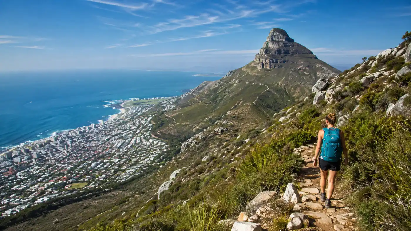
Devil's Peak Hike from Cape Town
Most visitors stare straight at the flat top of Table Mountain, snap their photos from the waterfront, and never look twice at the sharp pyramid rising beside it. That is a mistake. Standing at 1,002 meters above the Atlantic Ocean, hiking devil's peak cape town gives you a raw, wind-whipped ridge experience that the main tourist plateaus cannot match. There are no gift shops at the beacon. You will not find a café selling iced coffee, and there is no cable car to bail you out if your knees give up halfway down.
I took my first scramble up this jagged peak on a crisp Tuesday morning when the southeasterly wind was threatening to kick up over the Saddle. The mountain feels alive in a way manicured city parks never do. Fynbos scratches against your shins, loose quartz crumbles under your boots, and the view sweeps across the city bowl toward Lion's Head and Table Bay with zero glass barriers in the way. Whether you want a steep morning workout or a half-day traverse across ridgelines, getting up this peak belongs on any serious Cape Town hiking list.
Book your hiking tours cape town experience:
Choosing Your Devils Peak Trail Route
You cannot just show up and aim toward the top. Devils peak mountain has several distinct faces, and picking the wrong approach will turn a sunny morning into a grueling ordeal. The mountain is shaped like a giant triangular spine connected to Table Mountain by an elevated saddle. Depending on where you park your car, your ascent will feel completely different in terms of shade, gradient, and exposure to wind.
The standard devils peak hiking trail sets off from Tafelberg Road, just past the lower cableway station. You park on the gravel shoulder near the start of the contour path, roughly two kilometers past the cableway building. From here, you hike toward the Saddle, the wide dip sitting directly between Table Mountain and Devil's Peak. The path climbs steadily through low protea bushes, crossing a few dry stream beds before delivering you to the windy col between the two peaks. From the Saddle, the summit path veers sharply left, scrambling up steep rock steps and scree to the trig beacon.
If you prefer green canopies and mountain streams, the Newlands Ravine trail offers a completely different world. You start at the Newlands Forest parking lot, where tall pine trees give way to indigenous afro-temperate forest. The initial 45 minutes feel gentle, almost deceptive. Then the trail hits the ravine base and goes straight up a stone staircase built into a narrow cleft. It stays cool and shaded until the moment you top out on the Saddle, blinking into sudden sunlight and buffeting gusts.
For those who like airy drops and don't get dizzy looking down a sheer drop, Mowbray Ridge via the King's Blockhouse is the adventurous line. It runs up the eastern flank from Rhodes Memorial. The route passes historical stone fortifications built in 1796 before crossing the infamous Knife Edge, a narrow rock spine where the mountain drops steeply on both sides. It requires real scrambling, basic route-finding skills, and steady nerves.
| Route Name | Starting Point | Distance (Return) | Elevation Gain | Scramble Rating |
|---|---|---|---|---|
| Tafelberg Road via Saddle | Tafelberg Road parking | 6.4 km | 620 m | Moderate (Class 2) |
| Newlands Ravine | Newlands Forest picnic area | 7.8 km | 710 m | Strenuous walking |
| Mowbray Ridge & Knife Edge | Rhodes Memorial | 5.5 km | 680 m | Challenging (Class 3) |
Pro tip: Park on Tafelberg Road near marker sign 23 if you are taking the Saddle route; parking fills up by 7:15 AM on weekends, so arriving early saves you an extra kilometer of road walking.
What to Expect When Hiking Devils Peak
The mountain looks straightforward from the city streets below. It is not. The first half hour on almost any devils peak trail lulls you into thinking it is a gentle uphill jog. Then the slope tilts violently upward. Cape sandstone erodes into fine, powdery gravel that sits on top of sloping rock slabs, making foot placement tricky on both the way up and the descent. I always tell friends to wear trail shoes with sticky rubber outsoles rather than worn-out running sneakers.
Once you reach the Saddle at around 680 meters, the landscape opens up dramatically. The wind here can be ferocious. Air gets funneled between the vertical eastern ramparts of Table Mountain and the western buttresses of Devil's Peak, creating a natural wind tunnel. On bad days, gusts easily hit 70 kilometers per hour. If the famous tablecloth cloud begins pouring over Table Mountain, the Saddle is where the cloud waterfall boils and dissolves into warm city air.
The final push from the Saddle to the top beacon is where the real work happens. You will use your hands. There are three or four distinct rocky bands where you must pull yourself up ledges about waist-height. Nothing requires technical ropes on the Saddle route, but you need your hands free. Keep your walking poles folded away during this upper tier so you can grab sturdy rock anchors instead of balancing on thin aluminium sticks.
At the summit beacon, the panorama is staggering. You are staring right down into the city bowl, the Victoria & Alfred Waterfront resembles a toy set, and you can see straight down the southern peninsula toward False Bay. On a clear day, the Hottentots Holland mountains sit sharp on the eastern horizon fifty kilometers away.
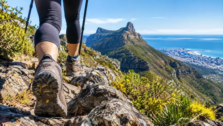
Devil's Peak Cape Town vs Table Mountain: Which Is More Difficult?
A question hikers constantly ask around Cape Town coffee shops is which is more difficult, Devil's Peak or Table Mountain? The answer depends entirely on which specific paths you compare, but pound for pound, cape town devil's peak feels rougher and more rustic.
If you compare the standard Platteklip Gorge trail on Table Mountain to the standard Devils Peak route from Tafelberg Road, Platteklip is physically more monotonous while Devil's Peak is technically more demanding. Platteklip is essentially a giant outdoor stairmaster made of two thousand stone steps. It burns your quads and tests your lung capacity, but anyone with basic fitness can stumble up it because the trail path is unmistakable. You cannot get lost in that gorge.
Hiking devils peak demands far more attention to your footing. The path is narrow, exposed to big drop-offs in several sections, and requires you to navigate loose scree and rocky ledges. There are no boardwalks, no wooden handrails, and zero water fountains along the way. If you stumble on the upper ridge of Devil's Peak, the consequences are substantially worse than taking a slip on the broad, walled path of Platteklip.
If you want a quieter day with fewer people and a wilder mountain atmosphere, this summit wins every time. When you reach the top of Table Mountain via almost any route, you join hundreds of tourists who paid for the cableway ticket, wearing sandals and eating gelato. Standing on top of cape town devils peak, everyone around you earned their view on foot. You will probably share the summit with three or four other sweaty hikers and a couple of black eagles riding thermal currents above the cliffs.
Note: Devil's Peak has zero emergency water points or shelters along the upper trails, so you must carry every drop of water you plan to drink from bottom to top.
Book your hiking tours cape town experience:
Safety, Route Finding, and Trail Etiquette
Cape Town mountains are famous for catching travelers off guard. The city sits directly against national park wilderness, giving people a false sense of security. Devil's Peak mountain is real mountain terrain subject to lightning-fast weather shifts. What begins as a warm, blue-sky stroll can degenerate into freezing drizzle and near-zero visibility within twenty minutes when a cold front moves off the Southern Ocean.
- Group sizes matter: Never hike Devil's Peak alone, especially along the lower slopes above Mowbray, Woodstock, or Newlands where isolated robberies occasionally occur. A group of four is the local standard.
- Water requirements: Pack at least 1.5 liters in winter and a minimum of 2.5 liters in summer. The western faces bake under direct afternoon sun with zero shade.
- Offline navigation: Cellular signal is spotty near the knife-edge ridges and ravines. Download maps on your phone beforehand through apps like AllTrails or Gaia GPS so you can track your route offline.
- Downhill pacing: Most trail accidents happen on the descent between the beacon and the Saddle; take shorter steps on the loose quartz scree to avoid wiping out.
I cannot stress enough how disorienting cloud cover can be on this mountain. When the fog rolls over the ridge, trail junctions that looked obvious on the way up vanish into gray stone. If you lose sight of the cairns (those small piles of stacked stones marking the trail), stop moving, pull out your GPS, and retrace your steps until you are firmly back on the worn track. Do not attempt to take short-cuts straight down the grassy slopes toward the highway. Hidden cliff bands ring the lower third of the peak, and descending them without a rope can be fatal.
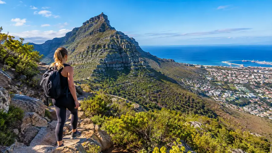
Timing Your Devils Peak Hike
The time of day you choose will dictate your entire experience. In the middle of January, starting this hike at 10:00 AM is pure misery. The dark rock absorbs heat, the sun reflects off the quartzite, and the slopes feel like an oven. If you hike in high summer, be boots-on-the-trail by 6:00 AM. You will conquer the steep ascent before the African sun climbs over the ridge, summiting in relative comfort while the city below is just stirring.
For more seasoned walkers who understand the local terrain, late afternoon hikes offer unreal light. The golden hour casts immense triangular shadows across the northern suburbs toward Durbanville. Watching the city streetlights flicker on across Table Bay while descending toward Tafelberg Road is magical. If you do this, you must carry a reliable headlamp with spare batteries. Stumbling down scree in the dark using an iPhone flashlight is asking for a broken wrist.
- Summer months (December to March): Best for early dawn starts, stable weather, and bone-dry rock, but watch out for heat exhaustion and blistering winds.
- Winter months (June to August): The trail is lush, green, and mossy, with seasonal waterfalls running down the ravines, though wet sandstone becomes extraordinarily slick.
- Shoulder seasons (April, May, October): Honestly the sweet spot for a devils peak hike, featuring moderate temperatures, calm breezes, and dramatic cloud formations.
Keep a close eye on the local wind reports. If the Cape Town weather forecast calls for southeasterly winds above 45 km/h, pick a low-elevation contour walk instead. That wind accelerates violently over the Saddle, turning the upper ridge into a terrifying fight to stay on your feet.
Frequently Asked Questions about devil's peak cape town
How long does the devils peak hike take from Tafelberg Road?
Most hikers in reasonable physical shape take between 3.5 and 4.5 hours for the round trip. The ascent from the roadside to the beacon covers roughly 3.2 kilometers and takes about 2 to 2.5 hours, with the descent taking another 1.5 hours due to loose gravel.
Can children or dogs hike up Devil's Peak?
Older kids who have hiking experience can manage the Tafelberg Road to Saddle route, but the scrambling near the summit requires careful supervision. Dogs are technically permitted on leash in certain areas of the national park with an activity permit, but the upper scramble has sharp rocks and steep drop-offs that are dangerous for pets.
Is there an entrance fee to hike Devil's Peak?
No, there is no entry fee or permit required for individual day hikers using standard trailheads on Devil's Peak. You can access the mountain directly from public parking spots on Tafelberg Road, Rhodes Memorial, or Newlands Forest without passing through a toll gate.
Quick Reference
- Starting elevation: roughly 380 meters on Tafelberg Road
- Peak elevation: 1,002 meters at the summit beacon
- Typical hike duration: 3.5 to 5 hours round trip
- Water sources on trail: none, carry all supplies
Book your hiking tours cape town experience:
The Bottom Line
Devil's Peak will never be as famous as the flat mountain next door, and that is precisely why you should climb it. It offers a genuine slice of wild mountain adventure just fifteen minutes away from downtown Cape Town. If you have decent boots, a couple of liters of cold water, and legs that can handle six hundred vertical meters of climbing, set your morning alarm early. When you stand on that stone beacon looking down across the entire peninsula, you will realize why locals love this rugged pyramid far more than the crowded cable car station across the gap.
Read more about hiking tours cape town.