Best Table Mountain Hiking Routes in Cape Town
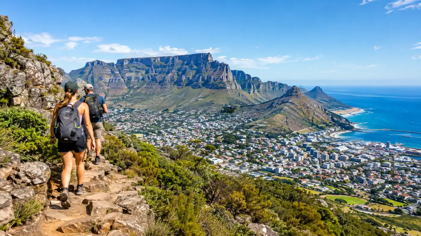
Every morning in the city bowl starts with looking up. If the sandstone rim is clear of the white cloud pouring over the edge, plans change fast, and running shoes get swapped for trail boots. Setting out to hike table mountain cape town central connects you straight from coffee shops to sheer, ancient wilderness in less than fifteen minutes. It looms right above the streets. You can literally walk from your hotel doorstep in Kloof Street to a trailhead, though taking an Uber saves your calf muscles for the real incline.
Finding the right path matters more than people think. Table Mountain looks like a single flat wall from the harbor, but it is actually a massive sandstone massif cut through by deep ravines, hidden valleys, and sheer buttresses. Over 350 paths snake their way up and across the plateau. Some are straightforward staircases built from loose rocks, while others demand scrambling up vertical rock faces using steel staples hammered into the granite. Choosing between them depends entirely on your fitness, head for heights, and how much scrambling you want before lunchtime.
Book your hiking tours cape town experience:
The Iconic Front-Face Paths: Platteklip Gorge and India Venster
Platteklip Gorge is the granddaddy of them all. If you ask a random local on the street how to climb Table Mountain, they will point you to this giant, cleft-like wound right down the center of the northern face. It is essentially an endless outdoor StairMaster. There are roughly 700 meters of vertical ascent packed into just over two kilometers of walking, and almost every foot of it is composed of uneven stone steps. It gets hot early. The gorge acts like a natural solar oven once the sun hits the rock around 10:00 AM, bouncing heat off the walls straight onto your neck. If you want the most direct path to the top, the Platteklip Gorge hike gets the job done in about two hours of unrelenting uphill slog.
India Venster takes a completely different attitude. It winds directly underneath the cable car wires, cutting across the sheer cliffs before swinging around behind the Venster rock window. It offers the best views of the city bowl and the Atlantic ocean by a long shot. It also terrifies people who do not enjoy heights. You have to pull yourself up several steep rock pitches using metal chains and handles bolted into the rock. It is not technical climbing, but if you slip, the drop-off is immediate. The yellow footprint markers spray-painted on the rocks keep you on track, but people still wander off-route every single year. The India Venster route should never be attempted when the rock is damp or when strong winds are buffeting the front face.
Note: Never try to descend India Venster unless you have substantial scrambling experience. Reversing down the chains and rocky steps facing outward is far more dangerous than climbing up, so plan to take the cable car down instead.
I find India Venster infinitely more entertaining than Platteklip simply because your brain is engaged the entire time. Platteklip numbs your mind with its relentless monotony of steps, whereas on India Venster, you are constantly scouting footholds, grabbing cool sandstone ledges, and pausing on tiny perches to watch tiny ships moving in the harbor below.
Comparing Table Mountain Hike Routes
The routes around the mountain vary wildly in distance, elevation gain, and exposure. Below is a side-by-side comparison of the five most popular walking routes up Table Mountain to help you match a trail to your crew.
| Route Name | Starting Point | Distance | Avg Time | Scramble / Exposure |
|---|---|---|---|---|
| Platteklip Gorge | Tafelberg Road | 2.9 km | 2 to 3 hours | None (strenuous walking) |
| India Venster | Lower Cable Station | 3.5 km | 3 to 4 hours | High (chains, steep drops) |
| Skeleton Gorge | Kirstenbosch Gardens | 6.2 km | 4 to 5 hours | Low-Moderate (ladders) |
| Kasteelspoort | Theresa Avenue, Camps Bay | 4.5 km | 3 to 4 hours | Low (some loose scree) |
| Kloof Corner | Tafelberg Road bend | 1.8 km | 40 minutes | None (short stone path) |
Lush Forests and Reservoirs: Skeleton Gorge from the East
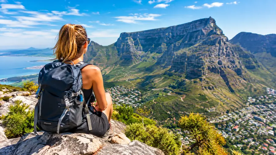
When the city side is sweltering, the eastern flank of the mountain feels like another planet entirely. Starting inside Kirstenbosch National Botanical Garden, Skeleton Gorge plunges straight into indigenous Afro-montane forest. It is moist, cool, and smells of damp earth and yellowwood trees. You walk alongside a tumbling stream, stepping over thick tree roots before reaching a series of wooden ladders attached to sheer river stones. In the wet winter months of July and August, this stream turns into an active cascade, and you will be hiking directly through running water.
Once you top out of the gorge, the terrain flattens out into fynbos and white sand. Yes, white beach sand, sitting 750 meters above sea level on top of a mountain. This is the shore of the Hely-Hutchinson Reservoir, built in the early 1900s out of pinkish-red sandstone blocks. Sitting by the dark, tea-colored water up there with a sandwich while looking back toward the Cape Flats is one of the strangest, quietest experiences in the city. The water gets its color from natural fynbos tannins, making it look like rooibos tea under the afternoon sun.
From the reservoir, reaching Maclear's Beacon - the highest geographic point on Table Mountain at 1,086 meters - takes another 45 minutes of gentle walking across the undulating plateau. It is marked by a huge stone cairn built in 1865 by the Astronomer Royal, Sir Thomas Maclear. Standing on top of that stone pile gives you an unobstructed 360-degree panorama of the entire Cape Peninsula, stretching all the way south to Cape Point.
Book your hiking tours cape town experience:
Atlantic Ridges: Kasteelspoort and the Twelve Apostles
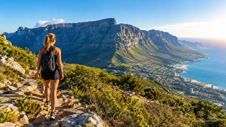
The western side of the mountain faces the open Atlantic, towering directly above the beach houses and palm trees of Camps Bay. This ridgeline is broken into dramatic buttresses known as the Twelve Apostles, even though there are actually seventeen distinct peaks if you count them all. The premier route up this side is Kasteelspoort. The trail starts at the end of Theresa Avenue, winding up the old pipe track before hooking hard into the deep ravine between the buttresses.
Kasteelspoort is longer and more gradual than Platteklip, offering sweeping coastal views across the glittering ocean for the entire ascent. Halfway up, you pass the rusting metal ruins of the old aerial cableway that carried machinery and supplies during the dam construction projects over a century ago. The real payoff sits right near the top of the ravine: the famous "Diving Board" rock. It is a flat tongue of granite that juts out over empty space, suspended hundreds of meters above the coastline. Getting a photo there requires steady nerves and absolute respect for the edge.
Pro tip: Start Kasteelspoort around 6:30 AM during summer so the entire buttress casts a giant shadow over your trail, keeping you out of the direct morning sun until you reach the summit ridge.
The Atlantic face also holds some deeply technical terrain. Wild, neglected gullies like dark gorge table mountain drop down between vertical towers on the upper cliffs. These narrow clefts are treacherous, heavily eroded, and reserved strictly for experienced mountaineers with rope gear and local knowledge. Sticking to the marked hiking trails on Table Mountain is non-negotiable on this side because turning down the wrong gully can land you cliffed-out above 80-meter drops with nothing to grab except loose shale.
Essential Trail Knowledge and Preparation
The weather in Cape Town moves fast. A morning that starts out glassy, still, and 22 degrees can flip into a howling gale with zero visibility in twenty minutes. The southeasterly wind pushes warm air up the back slopes of the mountain, where it cools rapidly, condenses, and pours across the plateau like a thick white blanket. Locals call it the tablecloth. When that cloud rolls over, temperatures plummet ten degrees, landmarks vanish, and paths that looked obvious ten minutes ago become invisible maze-lines in the fog.
Before heading out on any cape town table mountain hiking trails, run through these non-negotiables:
- Water intake: carry at least 2.5 liters per person in summer, because there are zero clean water sources once you leave Kirstenbosch.
- Windproof jacket: pack a proper shell even if you are sweating in shorts at the bottom of the trail.
- Offline navigation: download an offline GPS map like Slingsby or a dedicated trail app, as cell reception drops out inside deep ravines.
- Cable car schedule: check the live cableway operations online before you rely on it for a ride down, because high wind shuts it down instantly.
Safety on the mountain is not just about the weather. Walking alone is asking for trouble, both because of ankle-snapping boulders and occasional security issues on quieter spurs. Local hiking clubs and park authorities always suggest groups of four or more. If you run into trouble, Cape Metro Search and Rescue is one of the most competent volunteer rescue outfits on the planet, but you still want to avoid being the person plucked off a ledge by a helicopter because you started hiking in flip-flops at 3:00 PM.
Here is how to structure your day for the best experience:
- Timing the start: hit the dirt at sunrise to beat the crowd and the brutal midday heat waves.
- Descent options: buy a one-way cable car ticket down if your knees struggle with thousands of jarring step-downs.
- Snack strategy: bring high-salt food like biltong and salted nuts to fight off cramps on the steep inclines.
Frequently Asked Questions about hike table mountain cape town central
What is the easiest route to hike Table Mountain from central Cape Town?
Platteklip Gorge is the most straightforward route because it requires zero route-finding skills and no technical rock scrambling. It is very steep and physically exhausting on your leg muscles, but there is no exposure to heights or drop-offs, making it the safest option for novices.
Can I hike up Table Mountain and take the cable car down?
Yes, and it is what most smart hikers do. You can hike up routes like Platteklip Gorge or India Venster and purchase a one-way ticket at the Upper Cableway Station. Always confirm the cable car is running before starting, because strong winds often close it for hours without warning.
How dangerous are the scrambles on India Venster?
The scrambling involves about four distinct rocky pitches where you must use your hands, feet, and metal chains to pull your body weight up steep rock faces. While not technical rock climbing, someone with vertigo or poor balance will struggle, and a slip could lead to severe injury.
Do I have to pay to hike on Table Mountain?
Access to Table Mountain National Park trails from Tafelberg Road and Camps Bay is completely free of charge. The only trail where you pay an entry fee is Skeleton Gorge, simply because you must enter through the Kirstenbosch Botanical Gardens gate at the base.
Quick Reference
- Highest point: 1,086 meters (Maclear's Beacon)
- Average hiking time: 2 to 5 hours depending on path
- Emergency rescue number: +27 21 937 0300
- Best season: October through April for clear skies
Book your hiking tours cape town experience:
Before You Tie Your Laces
Standing on the flat summit looking out toward Robben Island makes every single burning step worth the effort. Table Mountain is an untamed mountain sitting inside a major city, not a manicured urban park. Treat the weather with respect, bring more water than you think you need, pick a route that matches your actual capability rather than your ego, and enjoy one of the most spectacular trail networks in the world.
Read more about hiking tours cape town.