Platteklip Gorge Hike Fastest Route Up Table Mountain
If you want the most direct path to the summit without spending five hours meandering across contour paths, hiking platteklip gorge cape town is the route everybody talks about. It is essentially a relentless, massive staircase cut directly into the central ravine on the front face of the mountain. Some locals call it the world's most scenic StairMaster, and they are not exaggerating. You start on the road, look straight up at a vertical cleft in the rock, and walk up stone steps until your quads tremble. It is steep, raw, and completely unapologetic about what it asks from your lungs.
I first tackled this path on an overcast Tuesday morning. I thought regular trail running had prepared me, but Table Mountain has a humbling way of setting you straight. The gorge cuts between towering sandstone cliffs that swallow the wind, trapping heat on summer afternoons. It might lack the scrambling fun of other trails or the shaded forest canopy of Newlands, but if speed and straightforward footing are your priorities, this is your trail. Here is what you need to know before tackling the mountain's most famous ascent.
Book your hiking tours cape town experience:
What to Expect on the Platteklip Gorge Route
The trail wastes zero time easing you in. Once you leave the road, the path winds up a lower slope dotted with small protea bushes and grey boulders before hitting the mouth of the ravine. From there, the terrain transforms into a continuous zigzag of rough granite and sandstone steps. There are no technical rock climbing moves here. You will not need ropes or climbing equipment. It is simply walking uphill at an angle that rarely gives your calf muscles a break.
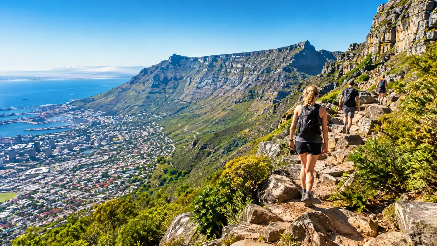
The scenery changes as you climb deeper into the belly of the mountain. Lower down, you get sweeping panoramas over the city bowl, the harbor, and Lion's Head sitting out toward the ocean. Halfway up, the gorge narrows dramatically. The rock walls rise hundreds of meters on either side of you, blocking out the rest of the world. It feels quiet in there, broken only by the sound of boots scraping on grit and heavy breathing from fellow hikers.
Near the top of platteklip gorge, the ravine constricts into a narrow defile where cool air often funnels down from the plateau. You reach a small trail intersection where the path finally flattens out, marked by a green national parks directional sign. Turning right leads you along a level rocky path for about 15 minutes toward the upper cable station, where you can buy a cold drink, use the restrooms, or catch a ride back down.
Platteklip Gorge Starting Point and Logistics
Finding the platteklip gorge starting point is simple enough, though parking along Tafelberg Road can test your patience on weekends. The trailhead sits about 1.5 kilometers past the Lower Cableway station. If you see dozens of cars parked precariously half on the pavement and half in the roadside dirt, you are in the right spot. Look for a wooden signpost indicating the start of the Platteklip Gorge hiking trail, right next to a small stone water culvert.
Taking an Uber or a taxi is almost always smarter than driving yourself. Cape Town parking attendants do a decent job, but roadside spots fill up before 7:00 AM in peak summer months. If you drive, you might end up parking two kilometers away from the start, adding an annoying road slog to an already demanding vertical day. Tell your driver to drop you directly at the platteklip gorge hike starting point rather than the main cableway building.
Pro tip: Save the Table Mountain aerial cableway WhatsApp weather line to your phone before you lace up your boots, because conditions change fast and you will want to know if the cable car is running for your ride down.
Public transport options exist through the MyCiTi bus service, which drops passengers at the Lower Cableway stop. From there, you face a 20-minute uphill road walk along the tarmac to reach the trailhead. It is a decent warm-up, but on a hot morning, saving that energy for the gorge itself makes a world of difference.
Platteklip Gorge Hike Difficulty and Terrain
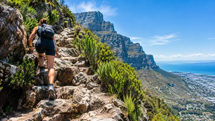
People often underestimate the platteklip gorge hike difficulty because it is labeled as the non-technical route. While it does not require scrambling on all fours over sheer cliffs, the sheer cardiovascular output required is substantial. You are climbing roughly 700 meters of elevation in under three kilometers. The gradient averages around 35 percent, and the steps are uneven. Some steps are ankle-height, while others require high knee lifts onto waist-high blocks of sandstone.
When locals debate the hiking grade of Table Mountain trails, Platteklip sits firmly in the physically strenuous but technically easy category. Anyone with reasonable aerobic fitness can do it if they pace themselves, but those with knee injuries or poor stamina will struggle. Coming down the same way is notoriously brutal on the joints. The constant downward pounding on stone steps has ruined many hikers' knees before they even reached the road.
| Trail Route | Distance | Elevation Gain | Technical Grade | Average Time |
|---|---|---|---|---|
| Platteklip Gorge | 2.5 km | 700 m | Low (Steep stairs) | 1.5 - 2.5 hours |
| India Venster | 2.8 km | 720 m | High (Scrambling, chains) | 3 - 4 hours |
| Skeleton Gorge | 3.5 km | 600 m | Moderate (Ladders, contour) | 2.5 - 3.5 hours |
| Kasteelspoort | 4.2 km | 650 m | Moderate (Loose gravel, steps) | 2.5 - 3.5 hours |
Heat is the silent enemy inside this stone channel. During summer, the sun strikes the front face of Table Mountain directly from mid-morning onward. The rocks absorb the heat and radiate it back out like a brick oven. There is virtually no running water or natural shade once you enter the upper half of the gorge, making dehydration a very real hazard for unprepared travelers.
Book your hiking tours cape town experience:
How Long Does It Take to Hike Table Mountain via Platteklip?
So, how long does it take? The answer depends almost entirely on your cardiovascular fitness and how many photos you stop to take. For a trail runner moving steadily without stopping, the ascent takes under 45 minutes. For an average hiker maintaining a steady, sensible cadence with brief water pauses, expect the platteklip gorge hike time to land somewhere between 90 minutes and two hours.
If you are hiking with a mixed group, elderly companions, or young kids, plan for around three hours. When planning your schedule, reading up on how long does it take to hike Table Mountain across different seasons will give you a clearer perspective on pacing and weather variables. I have watched tourists in flip-flops take four agonizing hours because they ran out of water at the halfway marker.
The total platteklip gorge hike distance is deceptive. On paper, 2.5 kilometers sounds like a walk around the neighborhood. In practice, every step is upward. Your pacing will likely be half of your normal flat walking speed. Do not rush the first twenty minutes. The most common mistake hikers make is sprinting off from the road, burning out their legs early, and then suffering through the upper switchbacks where the air thins out and the steps get taller.
Break the hike down into three psychological chunks:
- The lower approach: gentle dirt switchbacks winding up from the road to the trail marker box, taking about 20 minutes.
- The central ravine: the relentless middle section where the walls close in and the big stone staircases begin, lasting around 45 to 60 minutes.
- The final narrows: tight zigzags leading to the plateau rim, taking roughly 25 minutes of steep stepping.
Safety, Gear, and Solo Hiking Realities
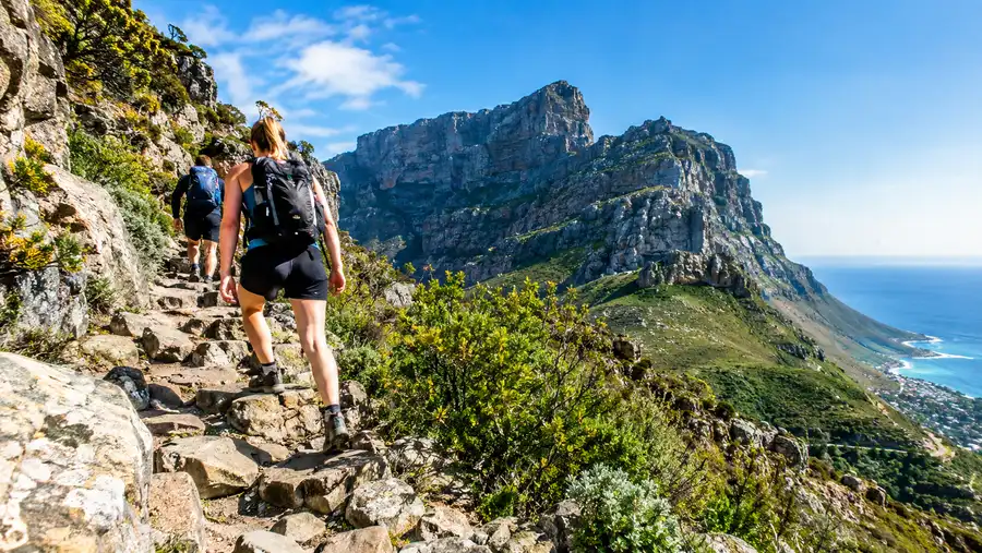
A question travelers ask constantly is: can I hike Table Mountain alone? On this specific route, yes, you generally can, provided you stay aware of your surroundings. Because Platteklip is the most popular trail on the mountain, you are rarely out of sight of other people between 8:00 AM and 4:00 PM. That sheer volume of human traffic makes it safer from a crime perspective than isolated trails on the southern slopes.
Safety is not just about avoiding opportunistic theft, though. It is about understanding mountain weather. Cape Town weather flips on a dime. A warm, blue-sky morning can morph into a howling gale with zero visibility in twenty minutes when the southeasterly wind blows the famous tablecloth cloud over the rim. If that cloud rolls in, the temperature drops fast, and walking off the summit paths can become dangerous.
Note: Baboons sometimes forage along the lower contours near the trailhead; keep your food zipped inside your backpack and never attempt to feed or crowd them.
Proper preparation makes the difference between an invigorating morning workout and an embarrassing rescue call to the volunteer mountain team. Do not treat this like a casual stroll through a city park just because you can see high-rise buildings from the path. You need real footwear with grip and plenty of hydration.
Take a look at the essentials you should carry on your climb:
- Water supply: carry at least 1.5 to 2 liters per person, as there are no clean streams on this face.
- Windbreaker jacket: even on 30-degree summer days, the summit breeze can freeze sweat-soaked shirts instantly.
- Sturdy footwear: trail runners or lightweight hiking shoes with sticky rubber soles beat flat sneakers every time.
- Sun protection: broad-spectrum sunscreen and a hat are mandatory because the ravine walls offer zero afternoon cover.
- Offline navigation: download your map beforehand, as cell signal can glitch against the massive rock face.
Before packing your daypack, review our detailed guide on what to pack for a Table Mountain hike to make sure you have not forgotten small lifesavers like electrolyte tablets or a mini power bank.
Frequently Asked Questions about platteklip gorge cape town
Is Platteklip Gorge dangerous?
The route has no vertical drop-offs or exposed knife-edge ridges, making it structurally the safest trail up the mountain. The real dangers are heat exhaustion, dehydration, and slips on worn, polished stone steps during wet conditions.
Can children manage the Platteklip Gorge trail?
Active kids aged eight and older usually handle the trail well, often scampering up faster than adults. Younger children might struggle with the tall step heights, requiring frequent lifts and long breaks that stretch the hike past three hours.
Can I hike up and take the cable car down?
Yes, this is how most visitors tackle the trail. You hike up Table Mountain via Platteklip, walk fifteen minutes across the flat summit plateau to the cable station, and purchase a one-way descent ticket to save your knees.
Are there restrooms along the trail?
There are no facilities anywhere on the trail itself. Use the public restrooms at the Lower Cableway station before walking up to the starting point, or wait until you reach the upper station at the summit.
Quick Reference
- Trailhead: Tafelberg Road, 1.5 km past Lower Cableway
- Distance: 2.5 kilometers one way
- Elevation gain: 700 vertical meters
- Typical duration: 1.5 to 2.5 hours
- Difficulty: Strenuous workout, zero technical climbing
Book your hiking tours cape town experience:
The Bottom Line
The climb up Platteklip Gorge will test your lungs, sweat out your morning coffee, and make you question your life choices about halfway through the central staircase. Yet, when you pull yourself up onto the final ridge and feel the crisp Atlantic air blowing over the plateau, every drop of sweat makes sense. It is the fastest, rawest way to earn your summit view without relying on cables. Lace up early, take your time on the rocks, and drink plenty of water as you go.
Read more about hiking tours cape town.